


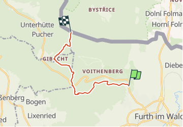

8,3 km | 10,7 km-effort

Tous les sentiers balisés d’Europe GUIDE+


Application GPS de randonnée GRATUITE
 SityTrail
IGN / Instituts géographiques
SityTrail World
Le monde est à vous
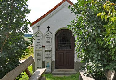
Randonnée A pied de 7,8 km à découvrir à Bavière, Landkreis Cham, Furth im Wald. Cette randonnée est proposée par SityTrail - itinéraires balisés pédestres.
Randonnée créée par ARGE Further Wanderwege.
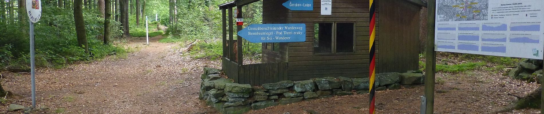
Symbole: Rote Wegnummer im weißen Bereich des oben weißen / unten roten, rechteckigen Hintergrunds
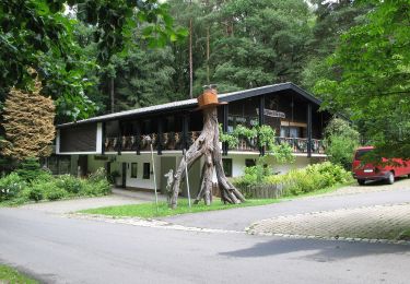
 inkl. Abkürzung - Photo 1")
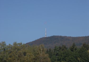
 inkl. Abkürzung - Photo 2")
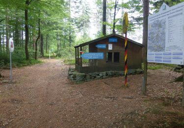
 inkl. Abkürzung - Photo 3")
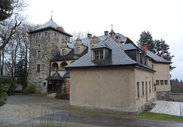
 inkl. Abkürzung - Photo 4")
A pied
A pied
A pied
A pied
A pied
A pied
A pied
A pied
A pied